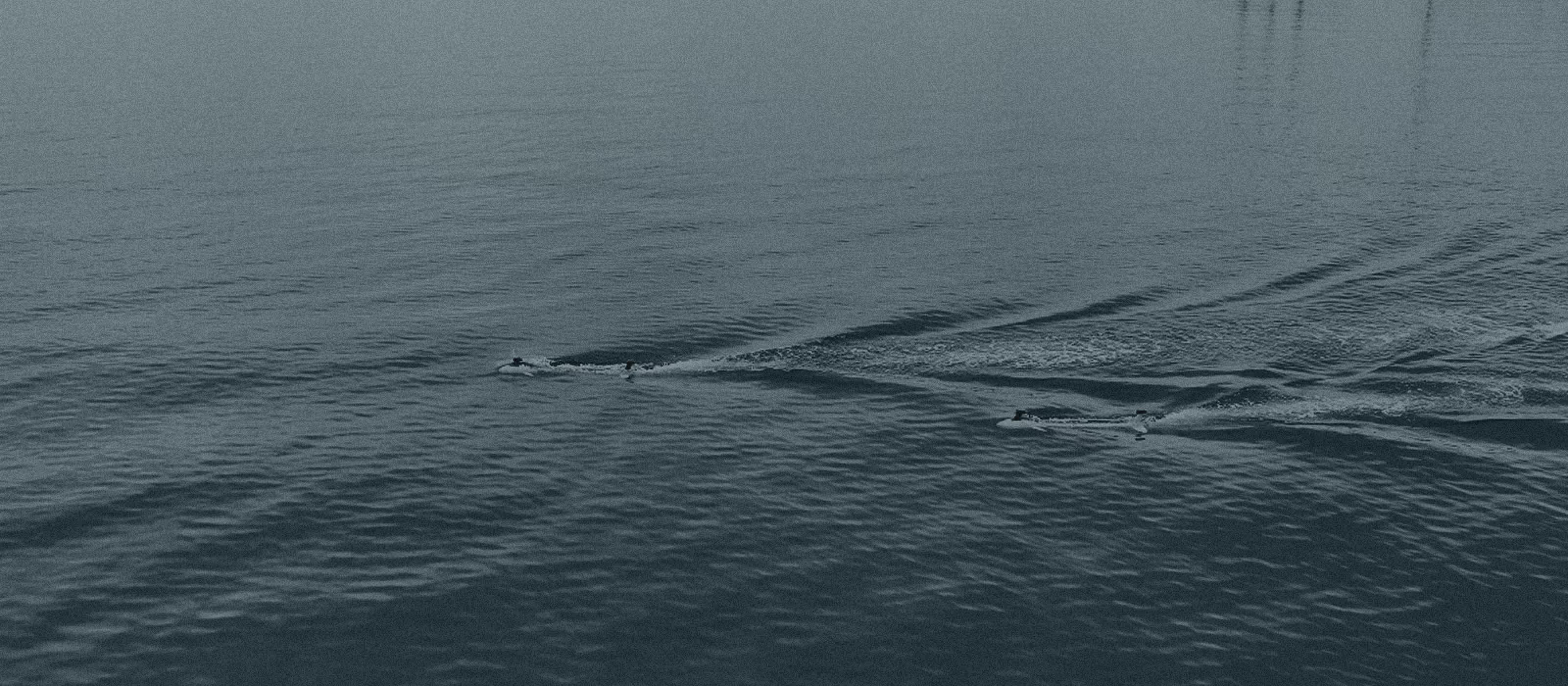
INStinct
INStinct is Vatn’s configurable maritime Inertial Navigation System, delivering accurate state estimation when GNSS signals are jammed, spoofed, or unavailable.
GPS Goes Down. INStinct Does Not.
Reliable navigation is the most critical system component in autonomous maritime operations. It is also the most vulnerable.
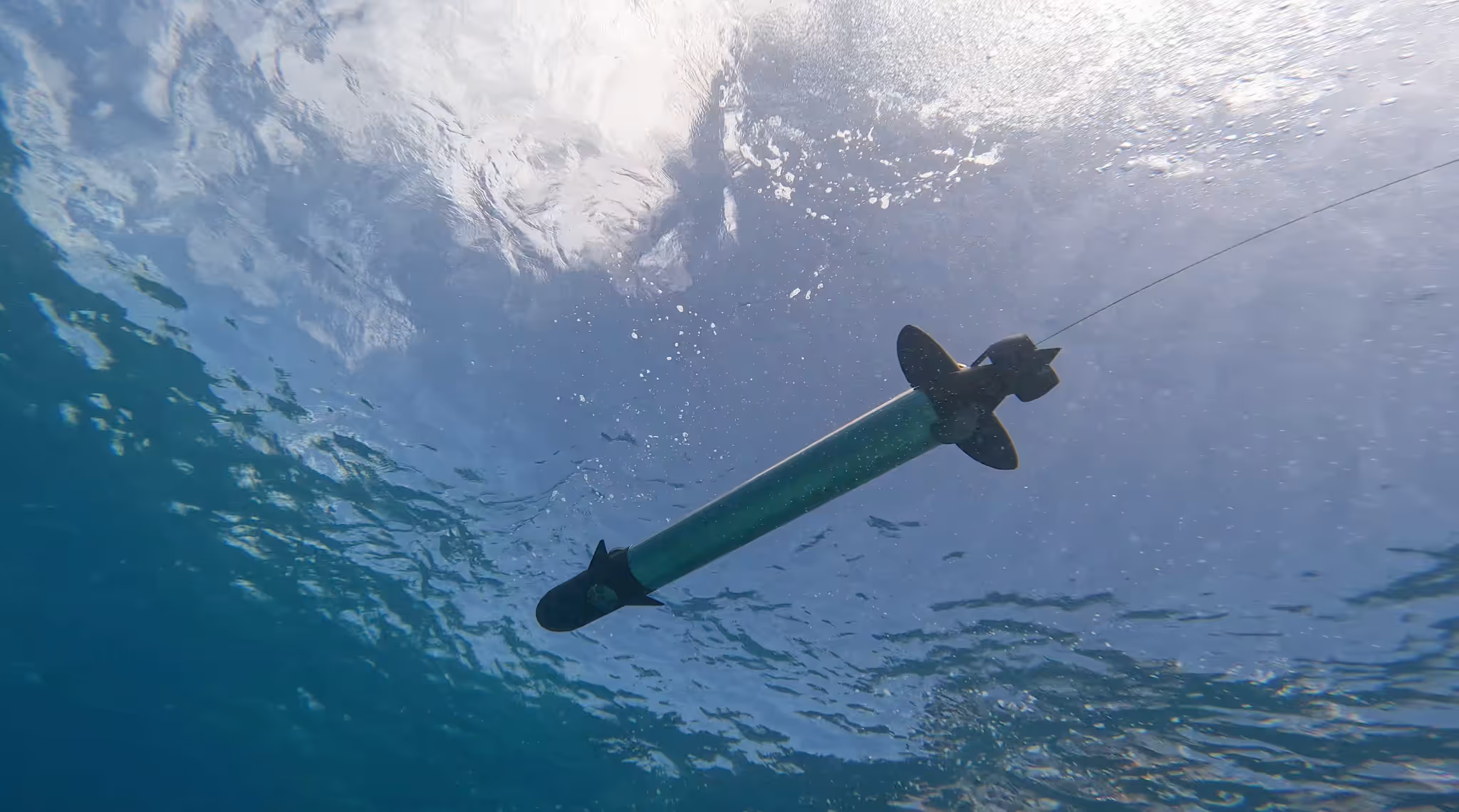
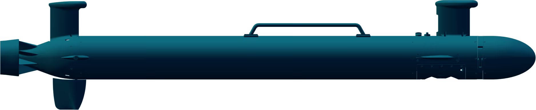
INStinct is Vatn's Inertial Navigation System. Purpose-built for surface and underwater environments. Accurate positioning and state estimation when GNSS signals are jammed, spoofed, or unavailable. Configurable to SWAP-C and mission requirements. Modular architecture. MEMS-based or upgrade to a Fiber Optic Gyroscope (FOG) when the mission demands it.

One INS. Any Mission.

GPS-Denied Navigation
INStinct maintains positioning accuracy during partial or complete GNSS outages. Jamming. Spoofing. Total signal loss. It holds course.
Modular Sensor Architecture
Configure from MEMS to FOG based on accuracy, size, weight, power, and cost. Scale the INS to the mission. Not the other way around.
Multi-Source Fusion
INStinct fuses multiple aiding sources. Customer-provided data. Integration is straightforward.
Maritime-Optimized Algorithms
Not a land or air INS adapted for water. Designed for surface and underwater dynamics from the start.
Rapid Initialization
Minimal alignment time. Minimal operator overhead. Mission-ready when you are.
Configurable Precision
Where It Works

UUV Navigation
Primary INS for Vatn's S6 and S12 class vehicles. Proven in GPS-denied undersea operations.
USV / Autonomous Surface Vehicles
Surface navigation with GNSS-resilient positioning for unmanned surface platforms.

Third-Party Platform Integration
OEM-ready for integration into external UUVs, USVs, and other autonomous maritime systems.
Hydrographic Survey
Accurate positioning for subsea mapping, inspection, and data collection operations.
Mine Countermeasures
Precise navigation in contested environments where GPS is denied and positional accuracy is mission-critical.